 UUUFLY
1 / 2
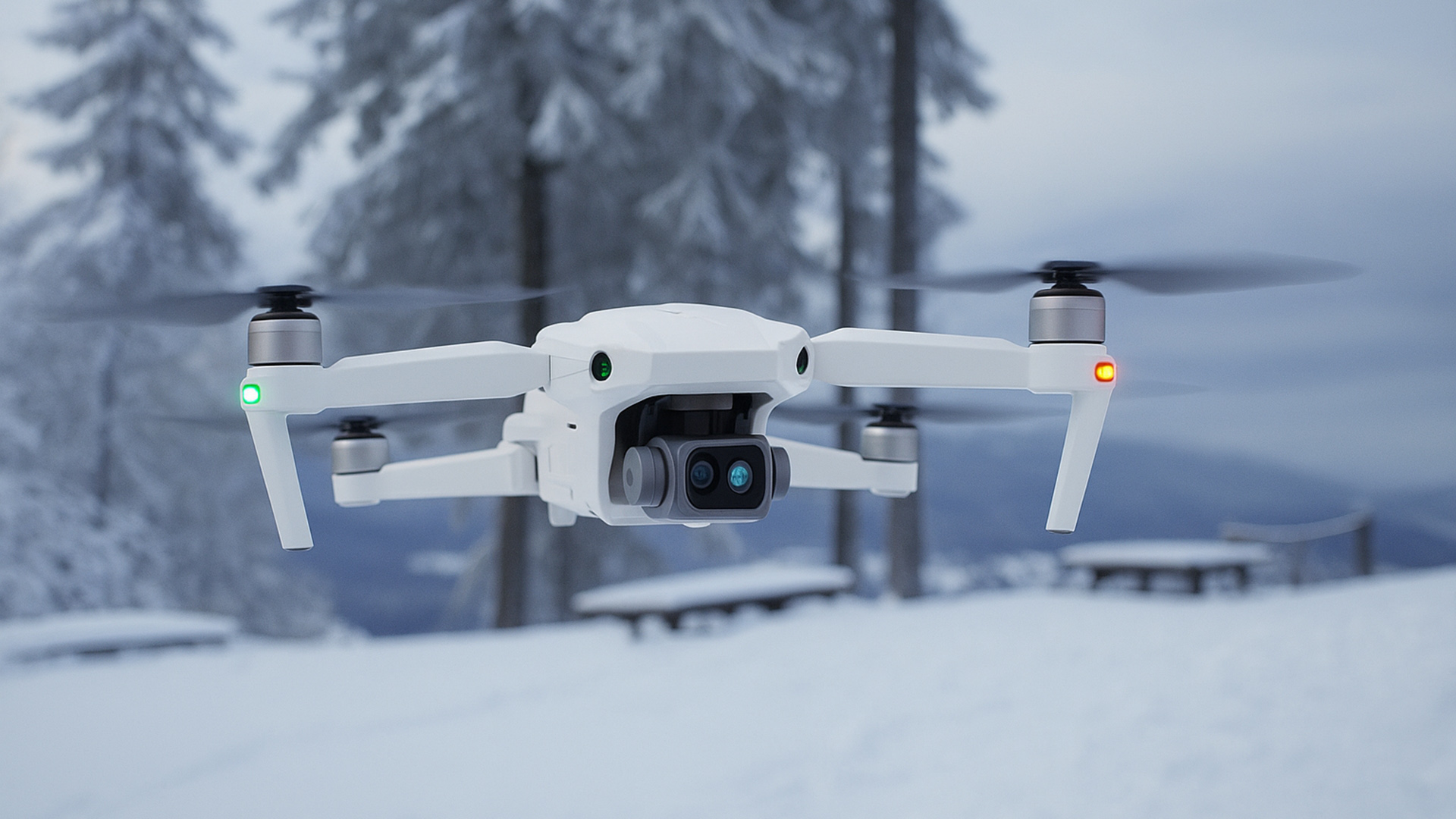
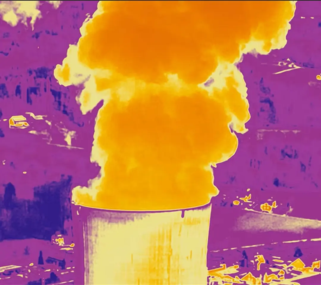
Enhanced thermal processing ensures clear visibility in complete darkness for critical missions.
Export detailed temperature matrices in CSV for comprehensive reports, beyond standard heat maps.
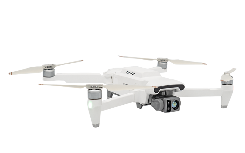
Add versatile payloads like laser, LiDAR, speakers, or droppers via the 12-pin expansion port.
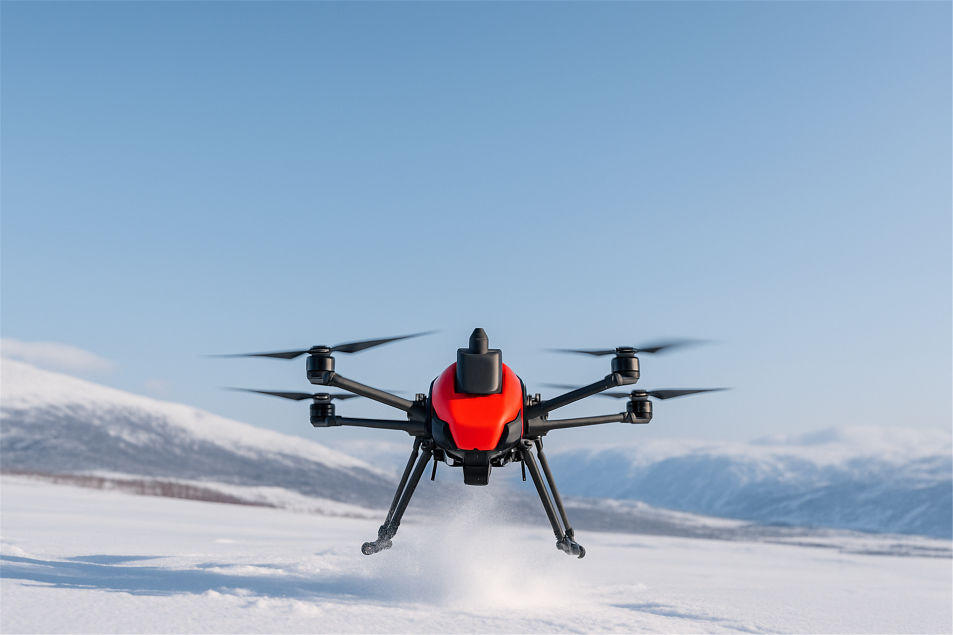
With a 20km range, 55-minute flight time, and IP54 durability, the X8T excels in tough conditions.
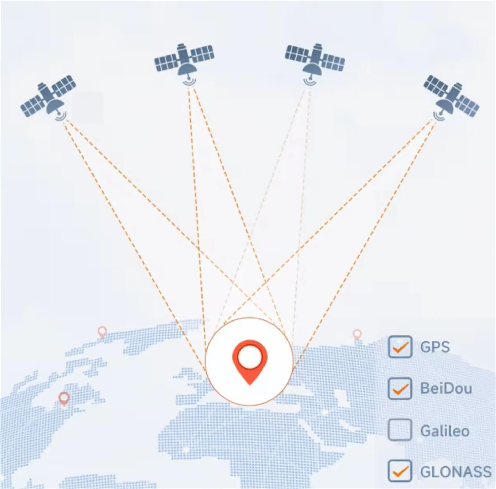
The X8T drone supports GPS, GLONASS, Galileo, and BeiDou, offering customizable single or multi-system configurations for precise positioning in any environment.
The X8T drone maintains stable flight performance under multi-band jamming, ensuring reliable mission execution.
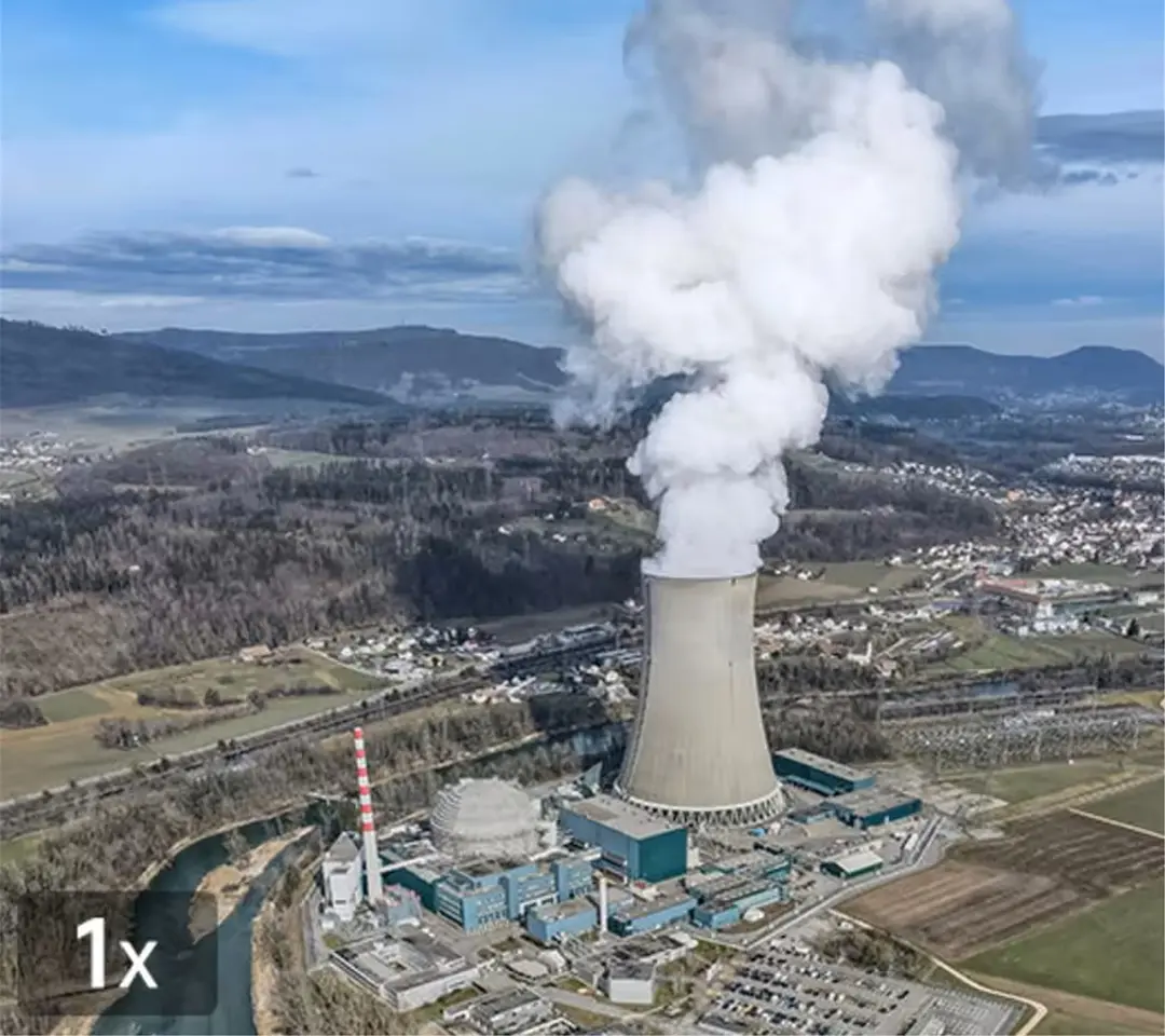
The X8T drone’s Sony 1/2-inch sensor camera records 4K video at 30fps, with a 30x hybrid zoom for capturing broad landscapes and fine details.
The X8T’s 640x480 thermal camera with a 19mm lens supports split-screen, picture-in-picture, and pseudo-color imaging, perfect for surveillance, inspections, and exploration.
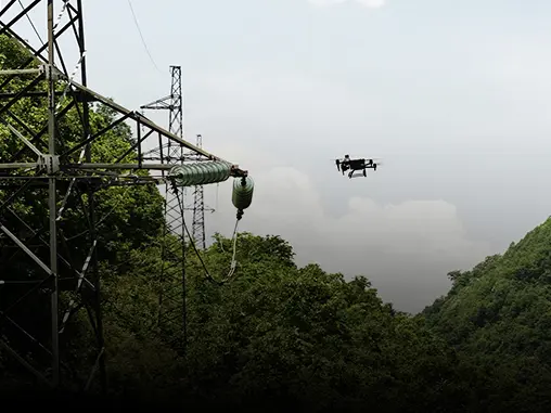
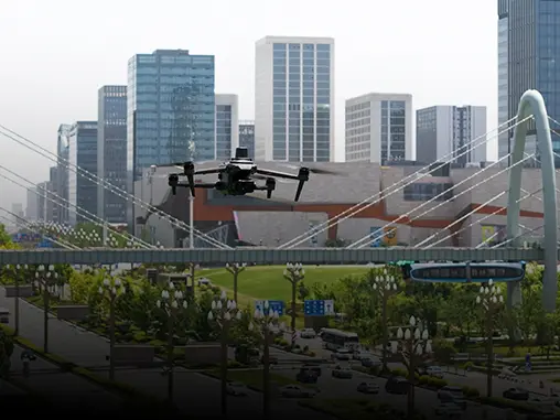
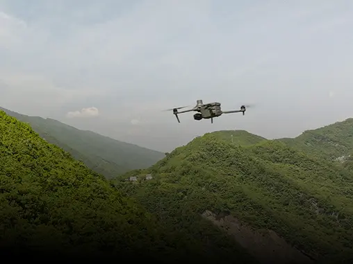


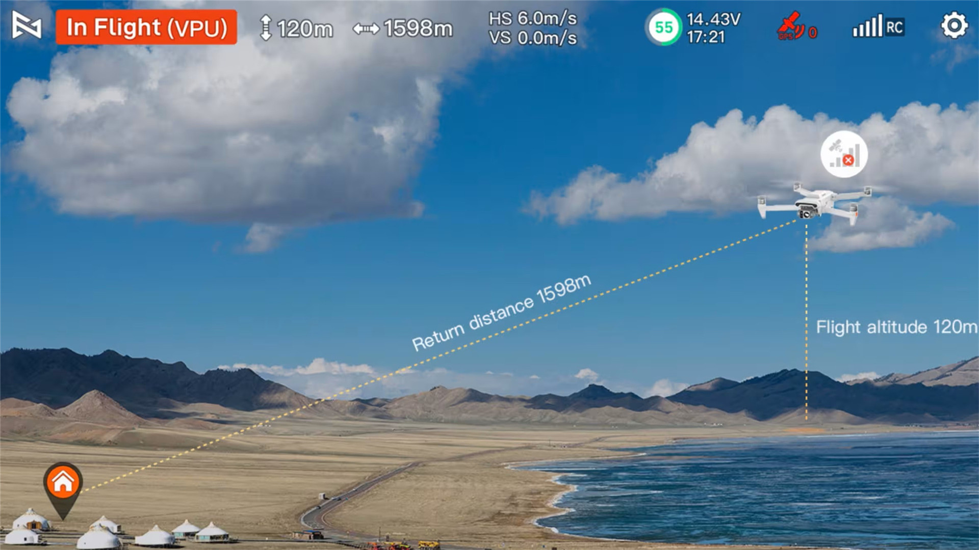
The X8T drone autonomously navigates back to its takeoff point during GPS loss, ensuring reliable operation in challenging environments.
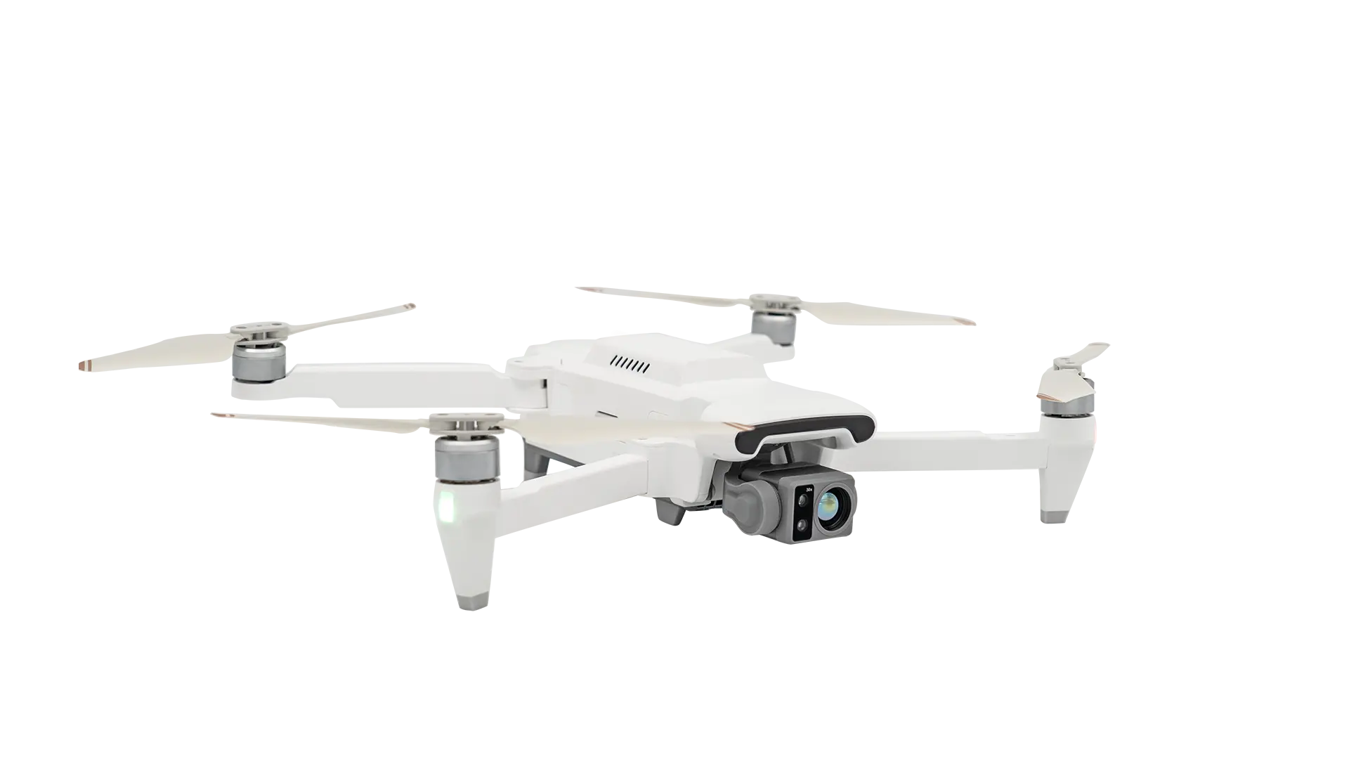
| Folded Body Dimensions | 204×106×72.6 mm (without paddle) |
| Unfolded Fuselage Dimensions | 242×334×72.6 mm (with paddle) |
| Take-off Weight | ≈0.83 kg |
| Wheelbase | 372 mm |
| Maximum Hover Time | 29 minutes |
| Maximum Flight Time | 47 minutes |
| Maximum Flight Speed | 18 m/s |
| Maximum Ascent Speed | 5 m/s |
| Maximum Descent Speed | 3.5 m/s |
| Maximum Tilt Angle | 35° |
| Maximum Wind Rating | 12 m/s |
| Maximum Takeoff Altitude | ≤5000 m |
| Navigation and Positioning | |
| Satellite Positioning | BeiDou, GPS, GLONASS, Galileo |
| Hovering Accuracy | |
| Vertical | ±0.1 m (with visual positioning) / ±0.5 m (with positioning system) |
| Horizontal | ±0.3 m (with visual positioning) / ±0.5 m (with positioning system) |
| Operating Ambient Temperature | 0°C to 40°C |
| Expansion Port | 12-pin data interface (female) |
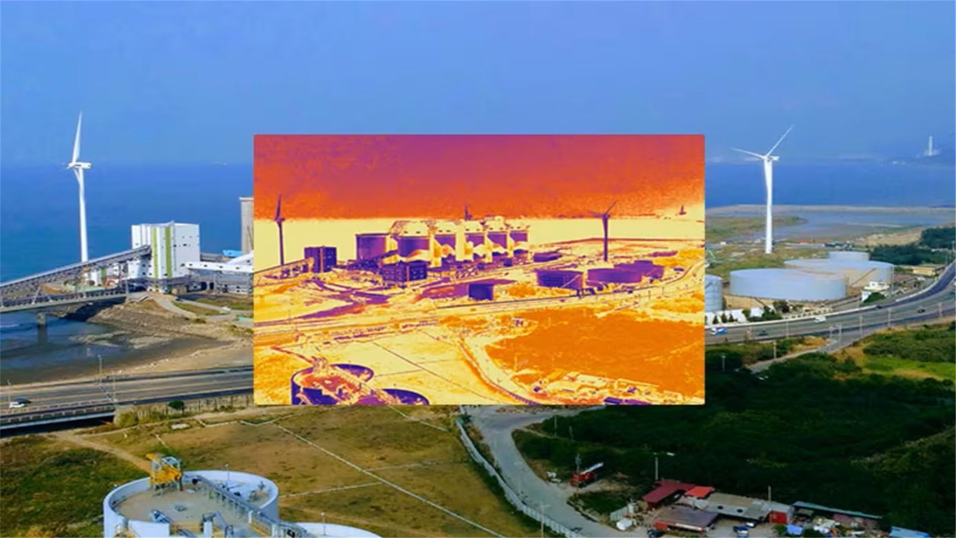
The drone features a Sony 1/2-inch sensor camera capable of recording 4K video at 30fps with 30x hybrid zoom, alongside a 640x480 thermal camera with a 19mm lens that supports split-screen, picture-in-picture, and pseudo-color imaging.
The X8T autonomously navigates back to its takeoff point if it loses GPS signals, ensuring secure and reliable return-to-home performance under challenging conditions.
It supports GPS, GLONASS, Galileo, and BeiDou satellite positioning, allowing customizable single or multi-system configurations for high-precision operations.
Yes, the drone includes a 12-pin expansion port allowing you to attach diverse payloads, such as laser systems, LiDAR sensors, speakers, or droppers.
The X8T drone delivers up to a 55-minute flight time (47 minutes maximum flight time based on technical specs), a 20km control range, and operates with IP54 ingress protection for extreme durability.
The drone features a folded size of 204×106×72.6 mm and unfolds to 242×334×72.6 mm (with paddles). It has a wheelbase of 372 mm and a takeoff weight of approximately 0.83 kg.








