 UUUFLY
1 / 3
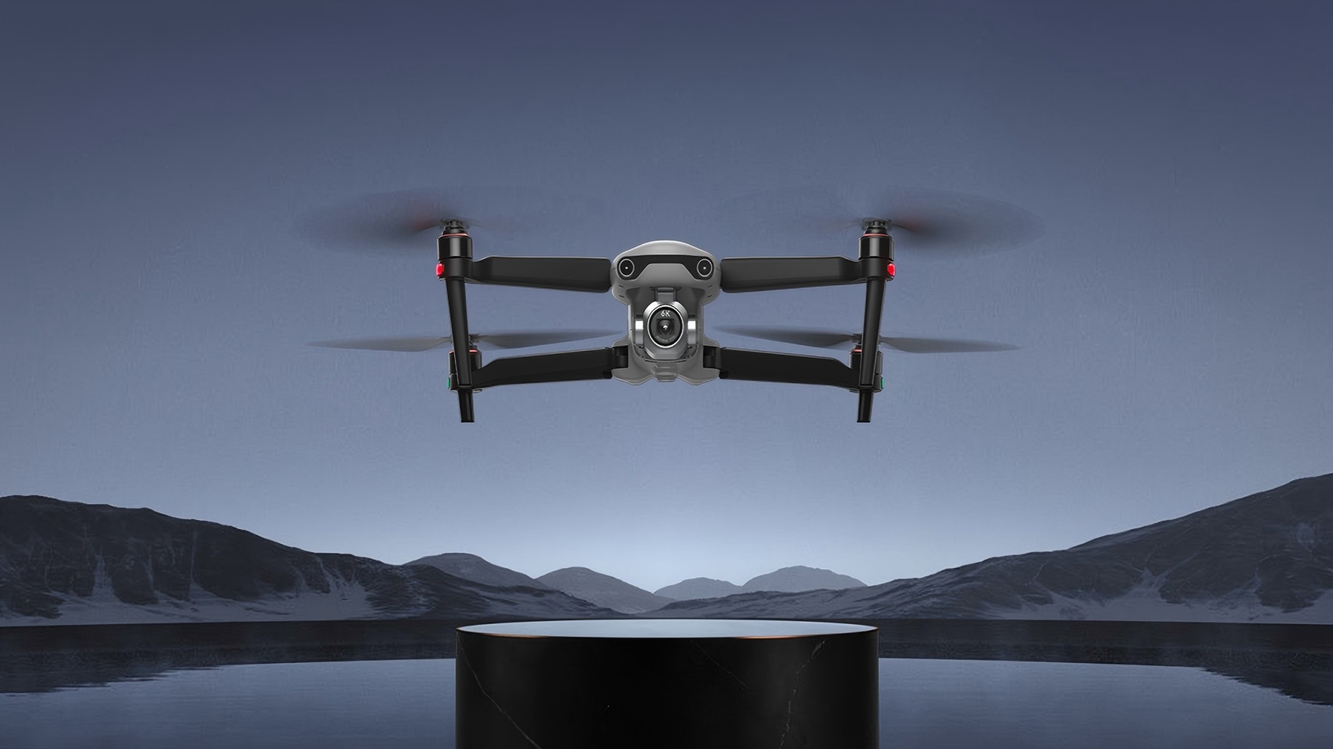
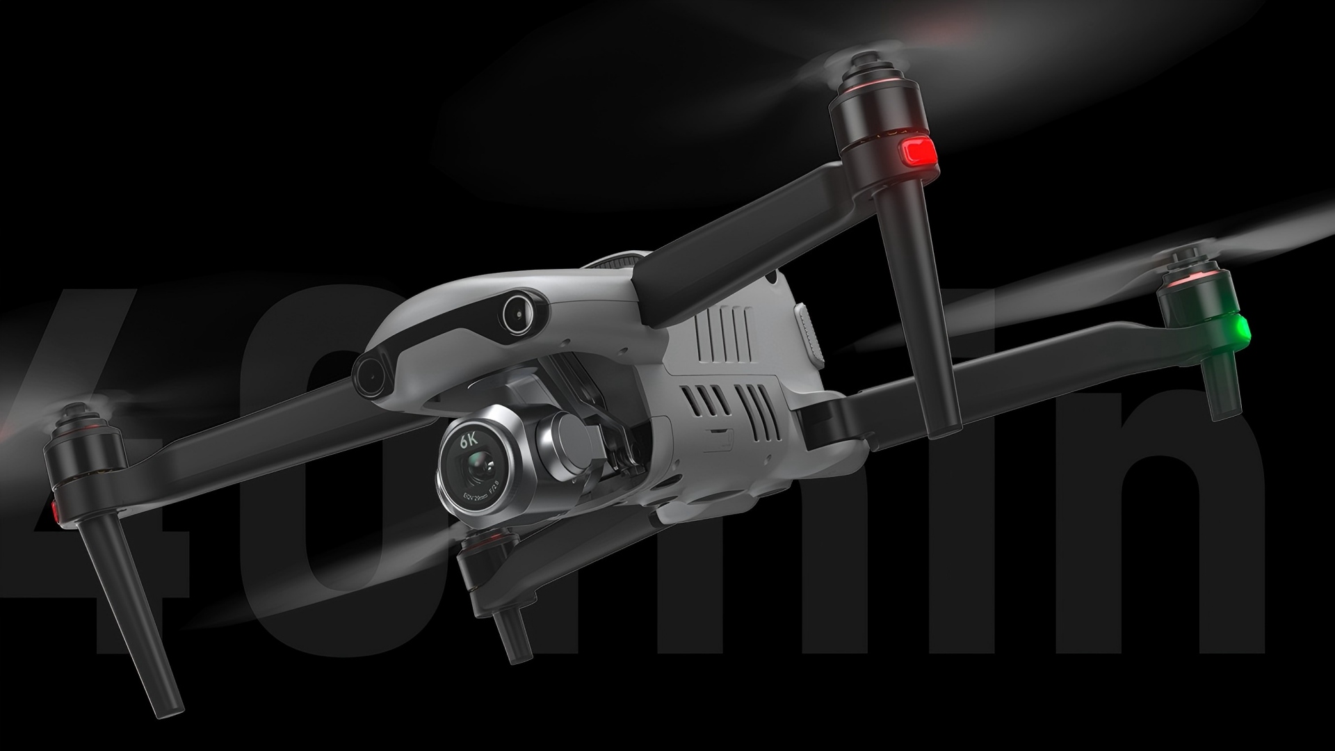
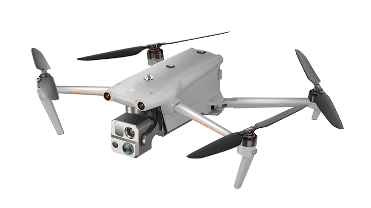
A large 1-inch Sony CMOS captures 6K/30fps video and 20MP photos with exceptional detail and dynamic range.
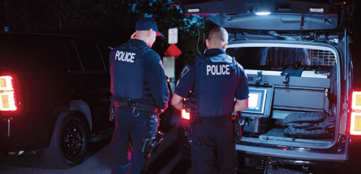
The Moonlight Algorithm 2.0 enables bright, noise-reduced footage in dark conditions, supporting clear nighttime evidence gathering.
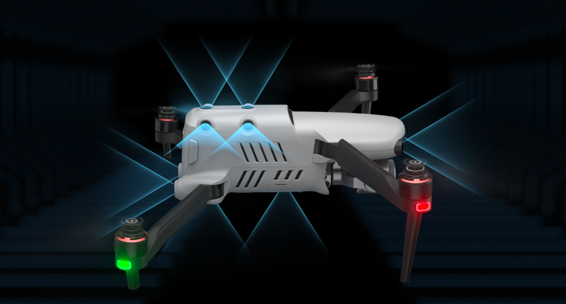
6-way binocular obstacle avoidance with 19 sensor groups ensures safe navigation in complex terrain.
Powered by SkyLink 2.0, it delivers reliable 15km HD video transmission for extended missions.
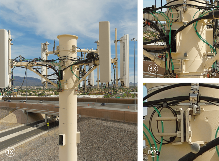
With 3x lossless zoom, 16x digital zoom, and a 3-axis stabilized gimbal, the drone captures sharp, jitter-free HD footage from a safe distance, ideal for detailed inspections and surveillance.
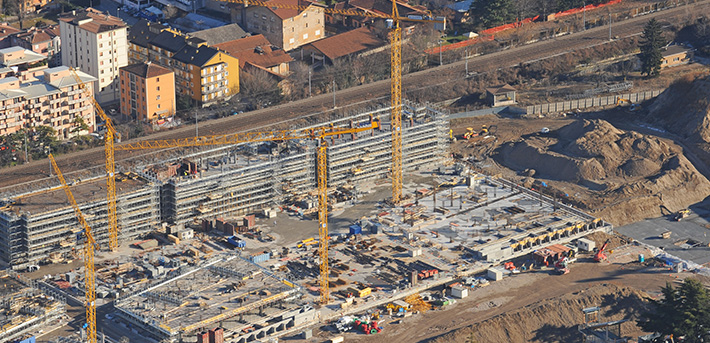
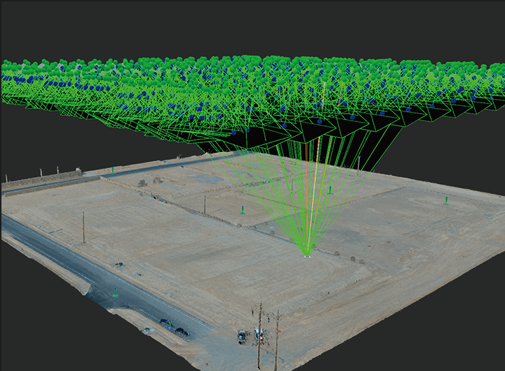
Boasting ultra-high image quality, the EVO II Pro V3 seamlessly integrates with Pix4D, Drone Deploy, and Skyebrowse to quickly generate accurate 3D scene models for accident reconstruction and mapping tasks.
With a foldable design, the EVO II Pro V3 takes just 45 seconds from power-on to takeoff, and requires no mandatory firmware or app updates, ensuring quick, hassle-free mission readiness.
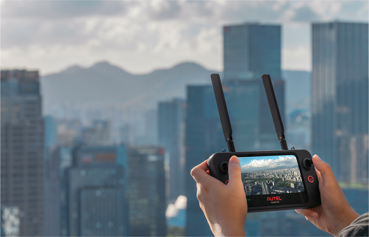
Featuring a 6.4-inch 2340×1080 touchscreen, octa-core processor, and SkyLink 2.0, it delivers stable 15km HD transmission and runs customizable Android OS for third-party apps, boosting operational efficiency.
| Aircraft | |
| Takeoff Weight | 1191 g (with propellers & battery) |
| Max Takeoff Weight | 1270 g (C2) |
| Dimensions | Folded: 230×130×108 mm;Unfolded: 457×558×108 mm |
| Wheelbase | 397 mm |
| Max Flight Time | 39 mins (no wind) |
| Max Hovering Time | 35 mins (no wind) |
| Max Horizontal Speed | 20 m/s (Ludicrous Mode) |
| Max Ascent/Descent Speed | 8 m/s / 4 m/s (Ludicrous) |
| Max Flight Distance | 25 km (no wind) |
| Max Service Ceiling | 7000 m |
| Wind Resistance | 12 m/s (cruise) |
| Operating Temperature | -10℃ ~ 40℃ |
| Obstacle Avoidance | 360° binocular, 19 sensor groups |
| Camera & Imaging | |
| Sensor | 1-inch Sony CMOS, 20MP |
| Lens | 82° FOV, 29 mm (35mm eq.), f/2.8–f/11 adjustable |
| Video Resolution | 6K@30fps, 4K@60fps, 1080p@120fps |
| Photo Resolution | 20MP JPEG/DNG (12-bit) |
| ISO Range | Video: 100–6400;Photo: 100–6400;Night: up to 44000 |
| Zoom | 3× lossless, 16× digital |
| Gimbal | 3-axis mechanical stabilization |
| Low-Light Tech | Moonlight Algorithm 2.0 |
| Transmission & Control | |
| Video Transmission | SkyLink 2.0, 15 km (FCC) HD |
| Operating Frequencies | 900 MHz, 2.4 GHz, 5.8 GHz |
| Remote Controller | Smart Controller SE (7.9” screen) |
| RC Storage | 128 GB internal |
| RC Battery Life | ~4 hrs (50% brightness) |
| Intelligent Features | |
| 3D Mapping | Compatible with Pix4D, DroneDeploy, SkyeBrowse |
| Smart Modes | Waypoint, Orbit, Follow Me, Time-Lapse |
| RTK (Optional) | Centimeter-level positioning (1 cm+1 ppm) |
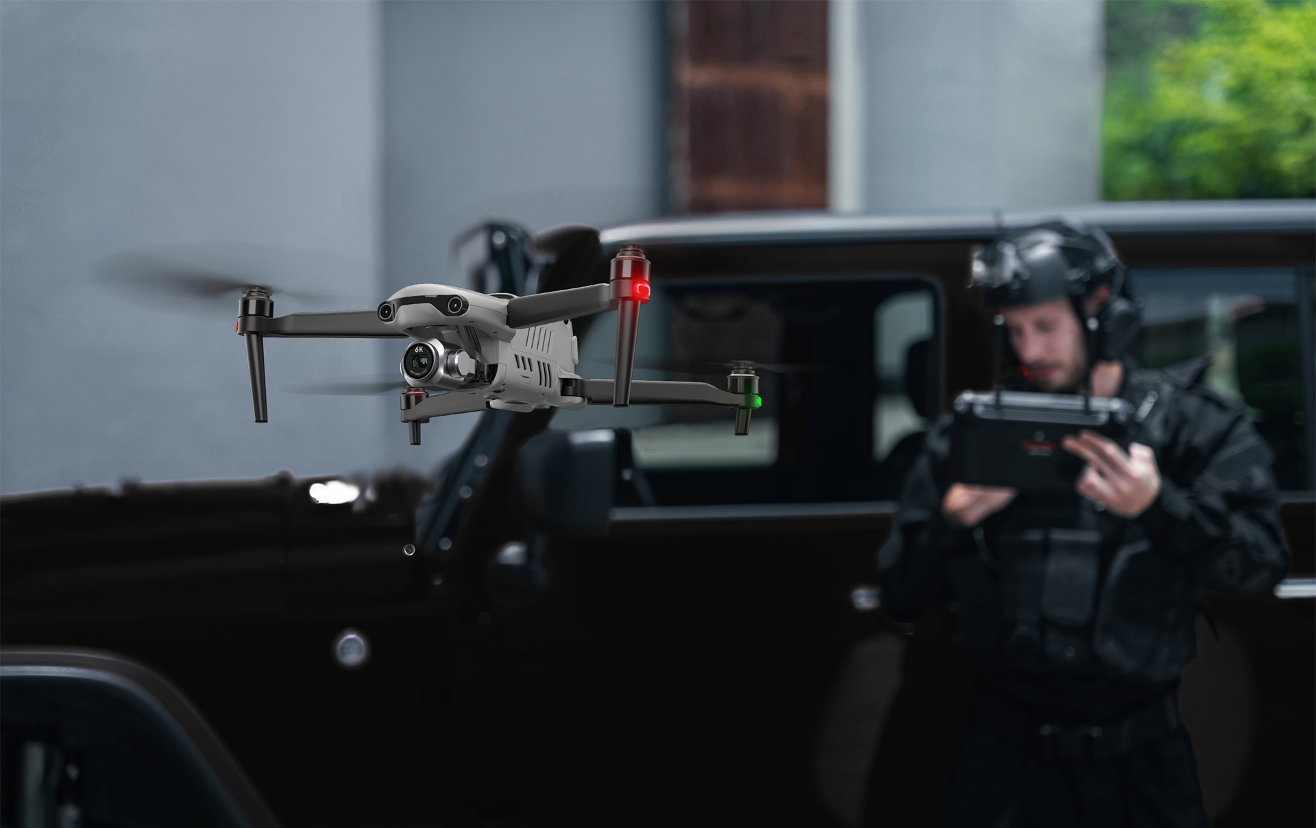
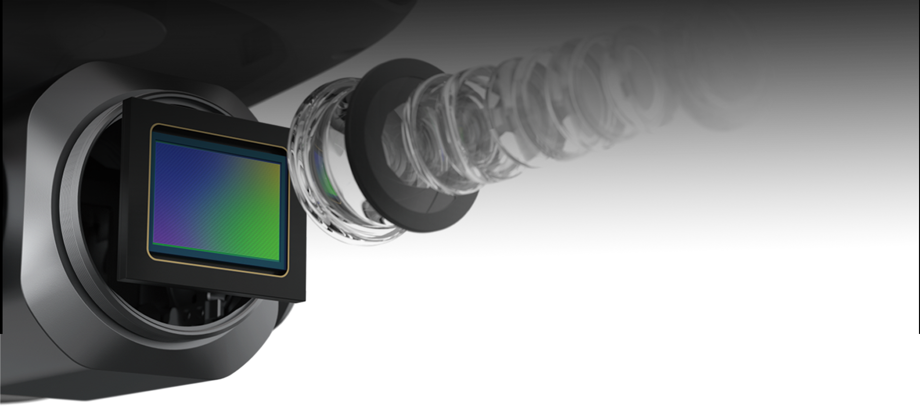
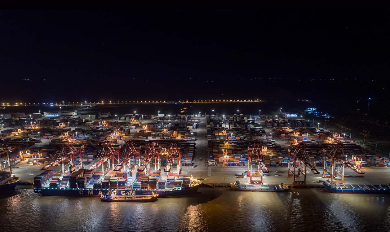
It features a 1-inch Sony CMOS sensor capturing 6K/30fps video and 20MP photos. With the integration of the Moonlight Algorithm 2.0, it allows for exceptional, noise-reduced footage in low-light and nighttime conditions.
The drone utilizes 6-way binocular obstacle avoidance, powered by 12 visual sensors and 19 integrated sensor groups, enabling the system to map 3D environments and autonomously navigate complex terrains safely.
The drone offers up to 39 minutes of flight time (no wind) and features SkyLink 2.0, providing stable HD video transmission up to 15km for extended range missions.
Yes, the system seamlessly integrates with industry-standard 3D mapping and reconstruction platforms including Pix4D, Drone Deploy, and Skyebrowse to generate accurate 3D scene models.
The Smart Controller SE features a built-in 6.4-inch 2340×1080 touchscreen running an octa-core processor on a customizable Android OS. It includes 128 GB of internal storage and has a battery life of approximately 4 hours.
Yes, it supports optional RTK modules to enable centimeter-level positioning (1 cm + 1 ppm) for tasks requiring extreme mapping and surveying precision.









