 UUUFLY
1 / 5
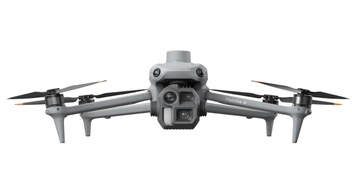
Equipped for rapid, multi-angle data capture at speeds up to 21 m/s, it delivers comprehensive aerial surveys with maximum efficiency and minimal downtime.
It automates detailed close-range surveys directly from on-site 3D models, transforming multi-day specialized inspections into single-visit completions.
From rapid model generation to automated flight planning and execution, it provides a seamless, intelligent workflow that elevates data accuracy and project turnaround.
Integrated visual route and waypoint previews allow for thorough pre-flight safety checks and coverage validation, significantly reducing operational risk.
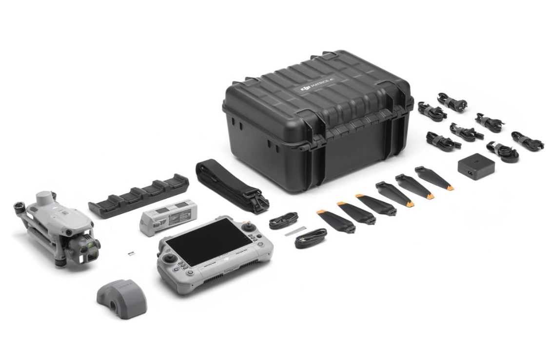
Using the included RC Plus 2 remote controller, drone control and live video feed can be sent successfully from up to 15.5 miles away. This is due to the O4 Enterprise transmission system, the Matrice 4E's eight-antenna system, and RC Plus 2's high-gain antenna. This system even supports fast image transfer with download speeds of up to 20 MB/s.
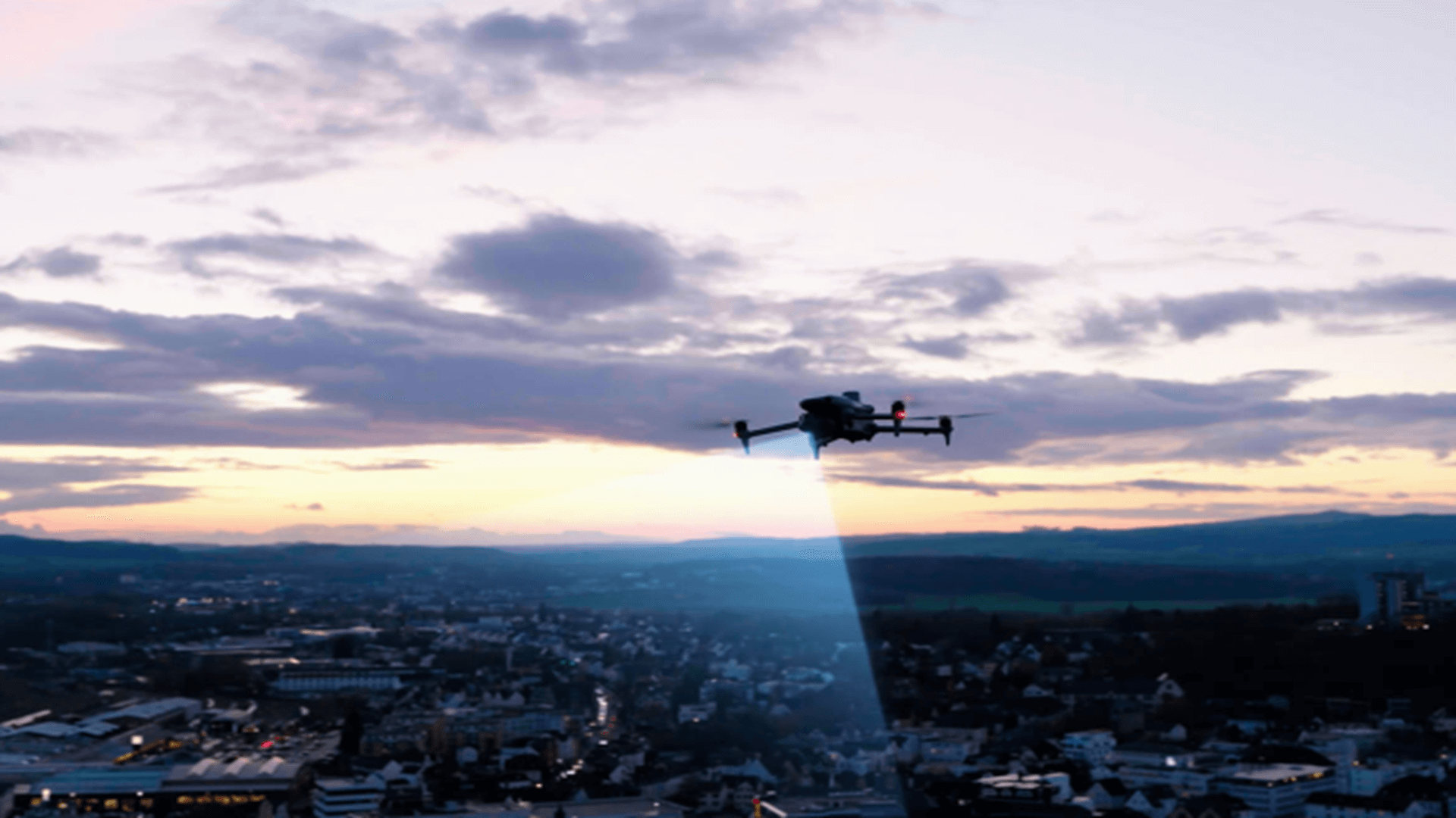
Matrice 4 series night scene mode is a powerful upgrade. Full-color night vision supports three modes to choose from, and provides two levels of enhanced noise cancellation options. Black and white night vision combined with near-infrared fill light can easily break through the limitations of the dark night, making the search and rescue target clear at a glance.
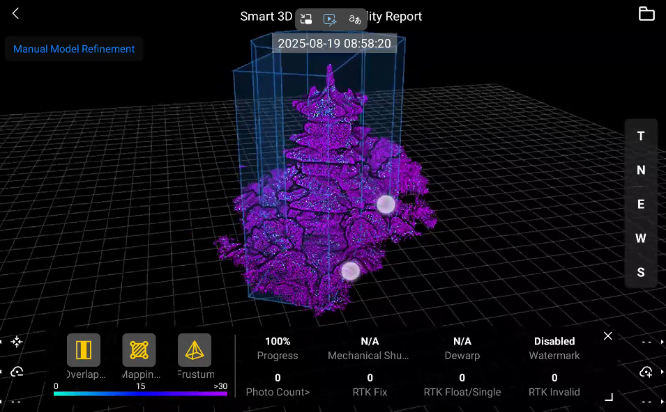
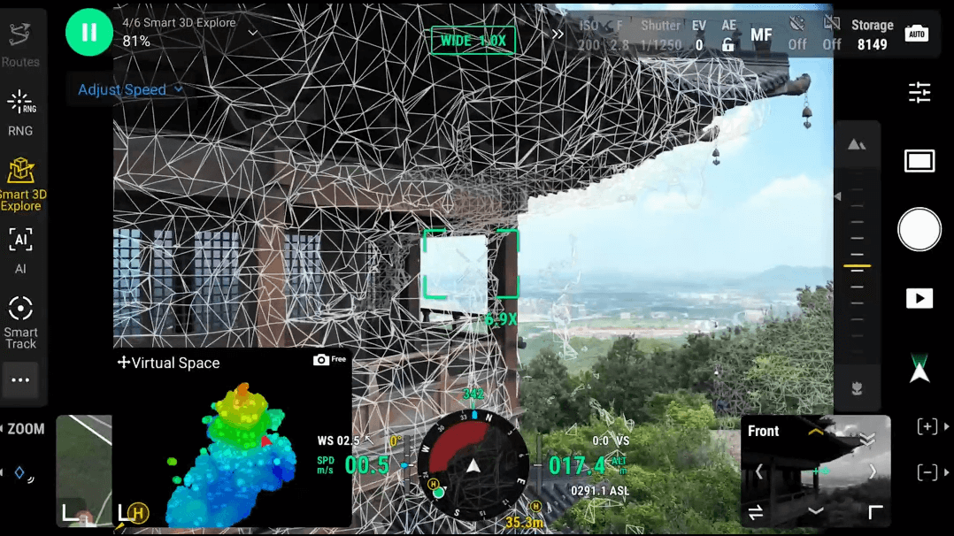
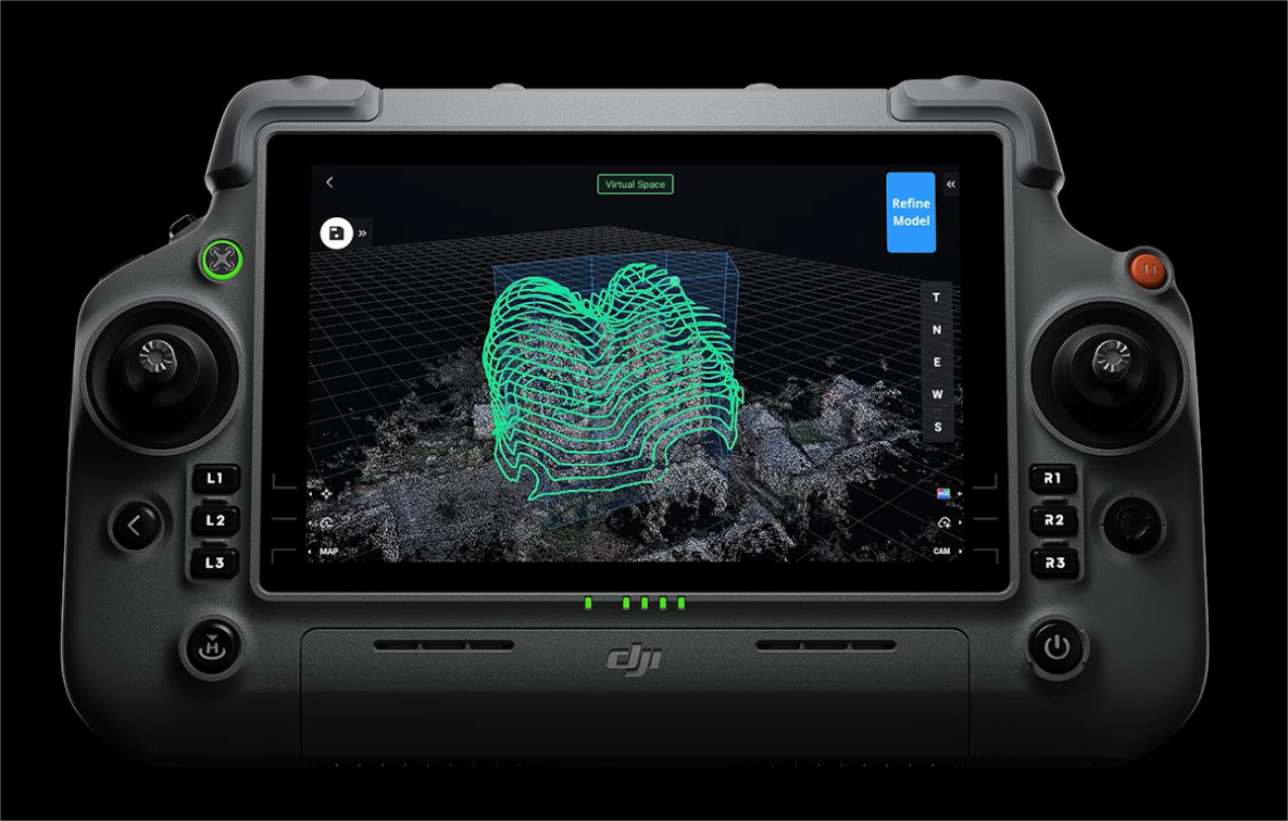
Matrice 4E can be used with Magic Calculation 3 and supports automatic discovery modeling. Relying on the powerful computing power of Miaosuan 3, the drone can automatically plan a safe flight path around the modeling target and build a preliminary spatial model in real time and send it back to the remote control, simplifying the short-range photogrammetry process and improving operational efficiency.
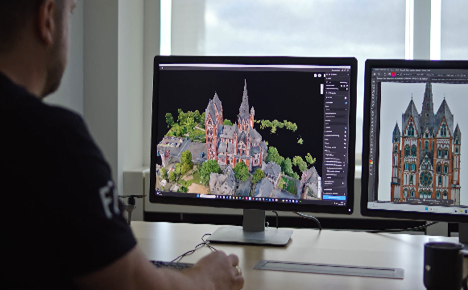
Distortion Correction 2.0 provides high-precision in-camera distortion correction with less than 2 images white. In addition, each Matrice 4E's wide-angle camera lens is rigorously calibrated before leaving the factory, and with DJI Terra software, which is deeply adapted to it, it can further improve the accuracy of reconstruction.
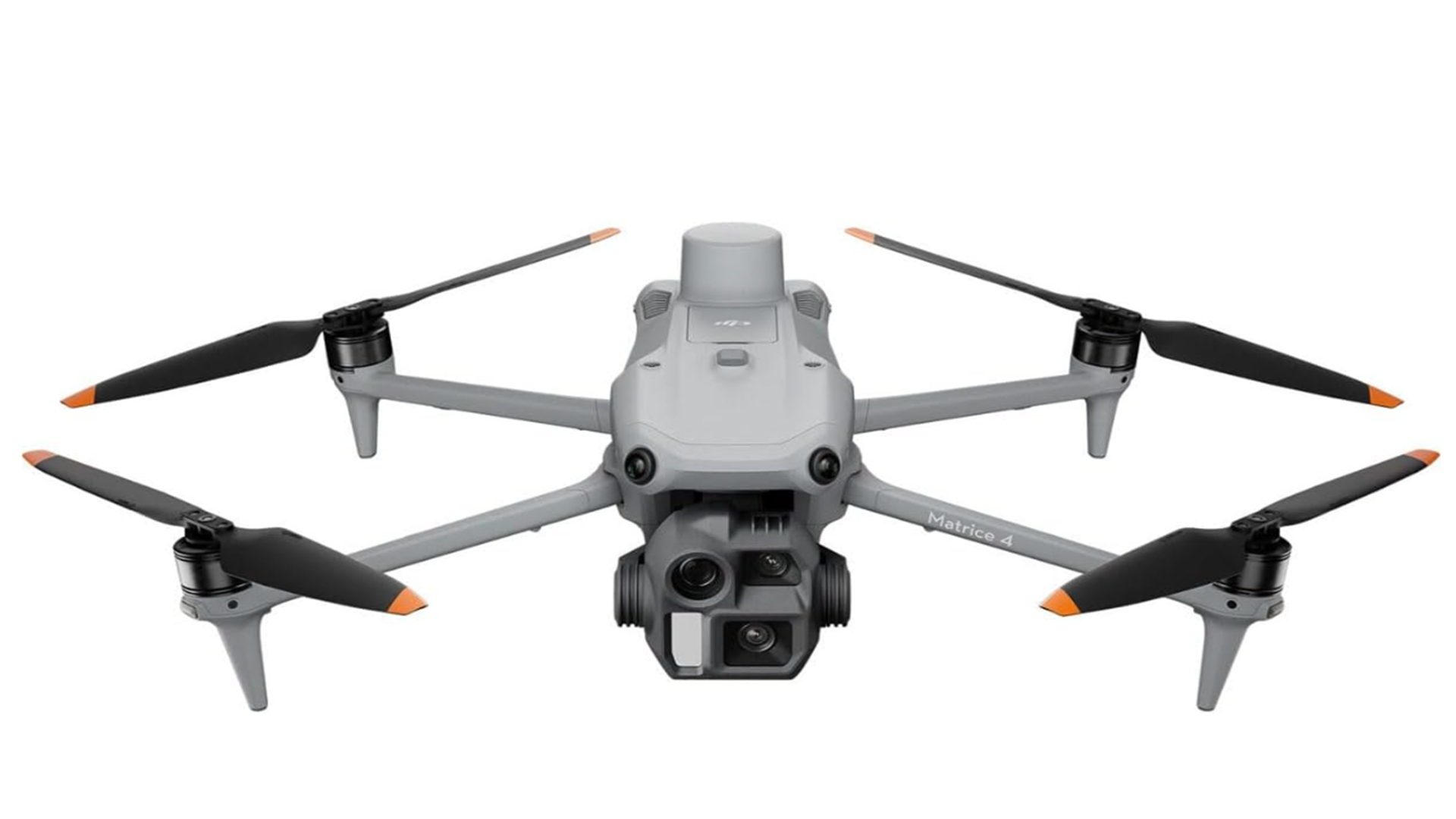
The Matrice 4 series is equipped with six high-resolution low-light fisheye vision sensors, which significantly improve visual low-light positioning and obstacle avoidance capabilities, enabling automatic obstacle avoidance, intelligent detour, and safe return in low-light urban environments.
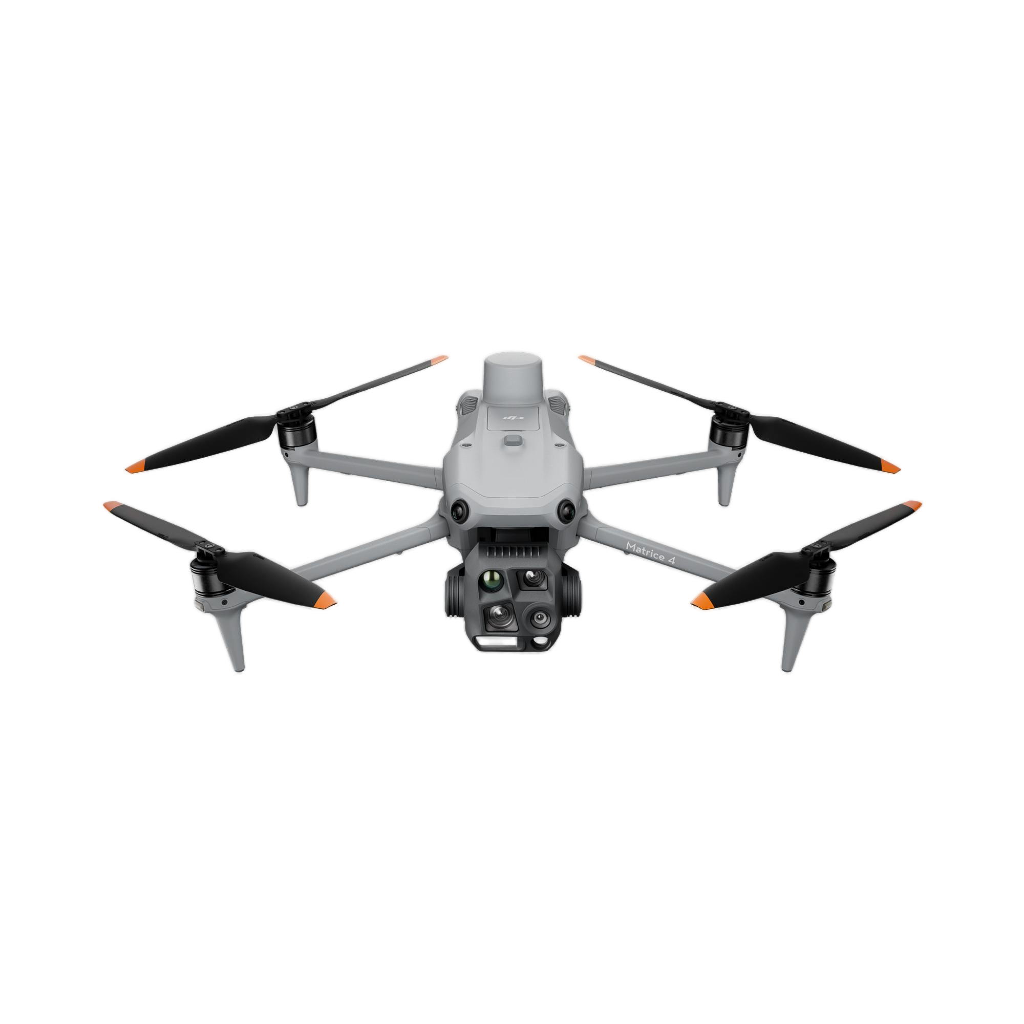
| Specification | Details |
|---|---|
| Aircraft Platform | |
| Weight | |
| Bare weight (with standard propellers) | 1219 g (incl. battery, propellers, microSD card) |
| Bare weight (with quiet propellers) | 1229 g |
| Max takeoff weight | 1420 g (standard propellers) / 1430 g (quiet propellers) |
| Dimensions | |
| Unfolded | 307.0 × 387.5 × 149.5 mm |
| Folded | 260.6 × 113.7 × 138.4 mm |
| Wheelbase | 438.8 mm (diagonal) |
| Max Payload | 200 g |
| Propeller | 10.8-inch (1157F standard / 1154F quiet) |
| Flight Performance | |
| Speed | |
| Max ascent speed | 10 m/s (6 m/s with accessories) |
| Max descent speed | 8 m/s (6 m/s with accessories) |
| Max horizontal speed (sea level, no wind) | 21 m/s (sport mode; EU limited to 19 m/s) |
| Altitude | |
| Max takeoff altitude | 6000 m |
| Max operating altitude (with accessories) | 4000 m |
| Endurance | |
| Max flight time (no wind, empty) | 49 mins (standard propellers) / 46 mins (quiet propellers) |
| Max hover time (no wind) | 42 mins (standard) / 39 mins (quiet) |
| Max range (no wind) | 35 km (standard) / 32 km (quiet) |
| Environmental Resistance | |
| Max wind resistance | 12 m/s (takeoff/landing phase) |
| Max tilt angle | 35° |
| Operating temperature | -10°C to 40°C (no solar radiation) |
| Positioning & Navigation | |
| GNSS | GPS + Galileo + BeiDou + GLONASS (GLONASS active only with RTK enabled) |
| Hover Accuracy (no wind) | |
| Visual positioning | ±0.1 m (vertical) / ±0.3 m (horizontal) |
| GNSS | ±0.5 m (vertical/horizontal) |
| RTK | ±0.1 m (vertical/horizontal) |
| RTK Positioning Accuracy (fixed solution) | |
| Horizontal | 1 cm + 1 ppm; Vertical: 1.5 cm + 1 ppm |
| Sensing & Communication | |
| Perception System | 6 high-definition low-light fisheye visual sensors (full-directional obstacle avoidance) + bottom 3D infrared sensor |
| Transmission | DJI O4+ Enterprise Link (8-antenna adaptive system) |
| Max transmission distance | 25 km (no interference/obstruction) |
| Optional 4G enhanced transmission for urban complex scenarios | |
| Payload System (Cameras & Sensors) | |
| Cameras | |
| Wide-Angle Camera | |
| Sensor | 4/3 CMOS, 20 MP effective pixels |
| Lens | 84° FOV, 24 mm equivalent focal length, f/2.8–f/11 aperture |
| Shutter | Electronic (2 s to 1/8000 s) / Mechanical (2 s to 1/2000 s) |
| Max photo size | 5280 × 3956 |
| Medium Telephoto Camera | |
| Sensor | 1/1.3 CMOS, 48 MP effective pixels |
| Lens | 35° FOV, 70 mm equivalent focal length, f/2.8 aperture |
| Max photo size | 8064 × 6048 |
| Telephoto Camera | |
| Sensor | 1/1.5 CMOS, 48 MP effective pixel |
| Lens | 15° FOV, 168 mm equivalent focal length, f/2.8 aperture |
| Max photo size | 8192 × 6144 |
| Shooting Capabilities | |
| Min photo interval | 0.5 s |
| Modes | Single shot, time-lapse, smart capture, panorama (20 MP raw / 100 MP stitched) |
| Video | 4K 30fps / FHD 30fps; Codec: H.264 (60 Mbps) / H.265 (40 Mbps) |
| Laser Rangefinder | |
| Max direct measurement range | 1800 m (1 Hz) |
| Max oblique measurement range (1:5 slope) | 600 m (1 Hz) |
| Blind zone | 1 m; Accuracy: ±(0.2 + 0.0015×D) m (D = target distance) |
| Professional Mapping Features | |
| Supports 0.5-s interval shooting (orthophoto/oblique modes) & 21 m/s mapping speed | |
| 5-directional oblique capture + 3-directional ortho capture (2.8 km² single-flight coverage) | |
| Close-range photogrammetry (on-remote rough modeling + fine route generation) | |
| Distortion Correction 2.0 (residual distortion < 2 pixels) | |
| Compatible with DJI Manifold 3 for auto-exploration modeling; works with DJI Terra for high-precision reconstruction | |
| Interfaces | |
| E-Port × 1 (supports official/third-party PSDK devices; no hot-swapping) | |
| E-Port Lite × 1 (supports USB connection to DJI Assistant 2) | |
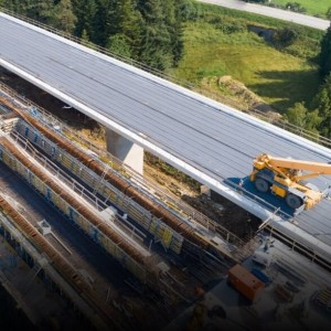
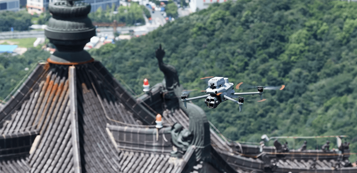
The Matrice 4E supports rapid, multi-angle data capture at flight speeds up to 21 m/s, offering comprehensive aerial surveys with maximum workflow efficiency and minimal downtime.
Equipped with the O4 Enterprise transmission system, an eight-antenna system, and the RC Plus 2 remote controller, it supports a transmission range of up to 15.5 miles (25 km under optimal conditions with no interference) and download speeds of up to 20 MB/s.
The system features a full-color night vision mode with three selectable settings and two levels of enhanced noise cancellation. For extreme darkness, its black and white night vision combines with near-infrared fill light to deliver sharp visuals.
The drone utilizes six high-resolution, low-light fisheye vision sensors for full-directional obstacle detection alongside a bottom 3D infrared sensor to maintain safe navigation and detours in low-light conditions.
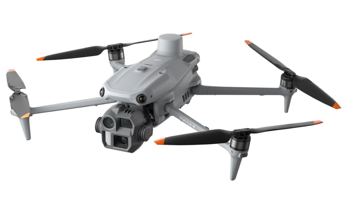
The camera configuration includes a 20 MP wide-angle camera (4/3 CMOS), a 48 MP medium telephoto camera, a 48 MP telephoto camera, and an integrated laser rangefinder with a measuring distance of up to 1800 meters.
Without wind, the aircraft offers up to 49 minutes of flight time using standard propellers, and up to 46 minutes when using quiet propellers.









