 UUUFLY
1 / 5
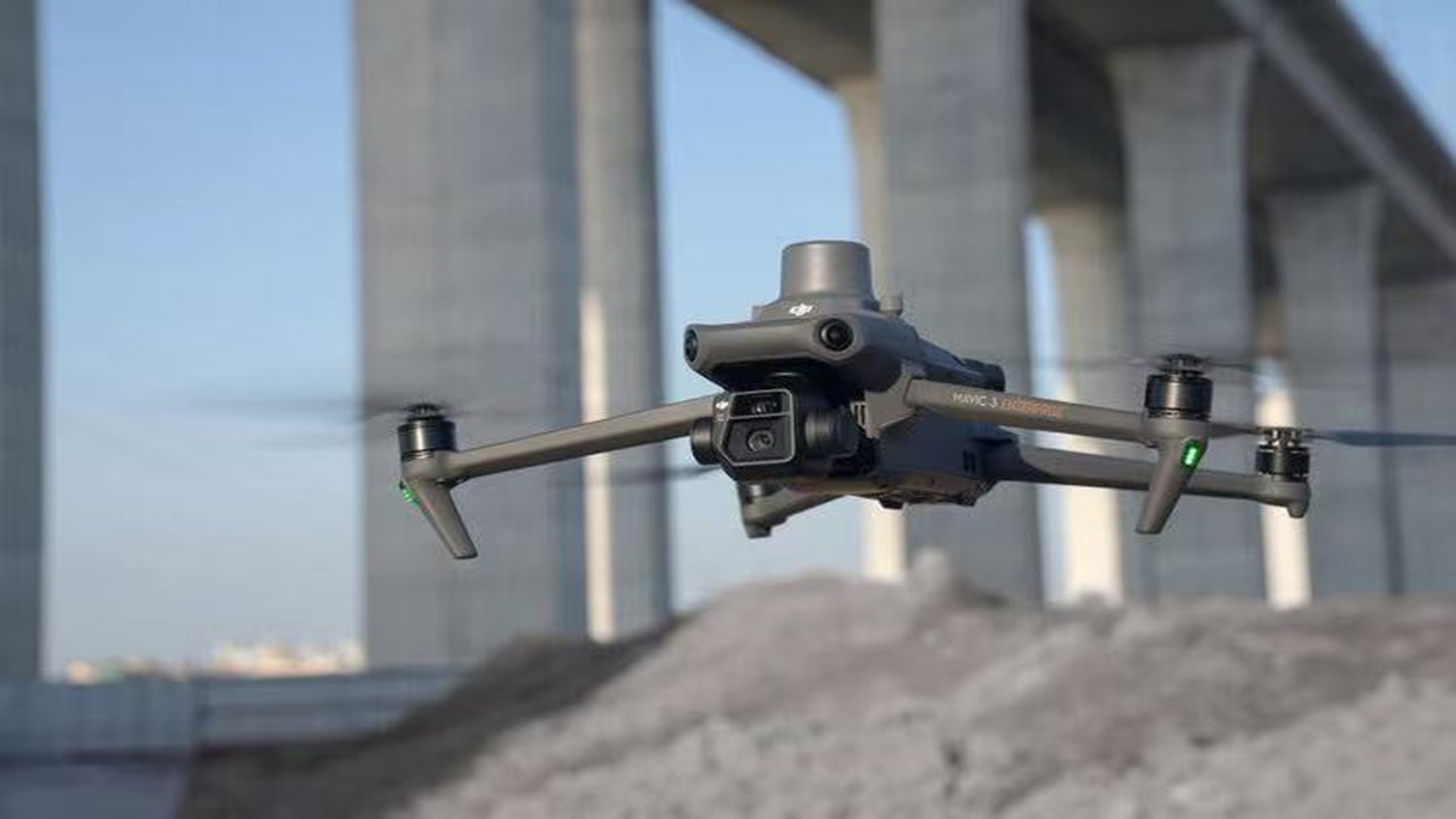
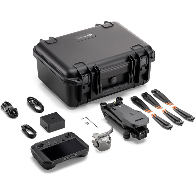
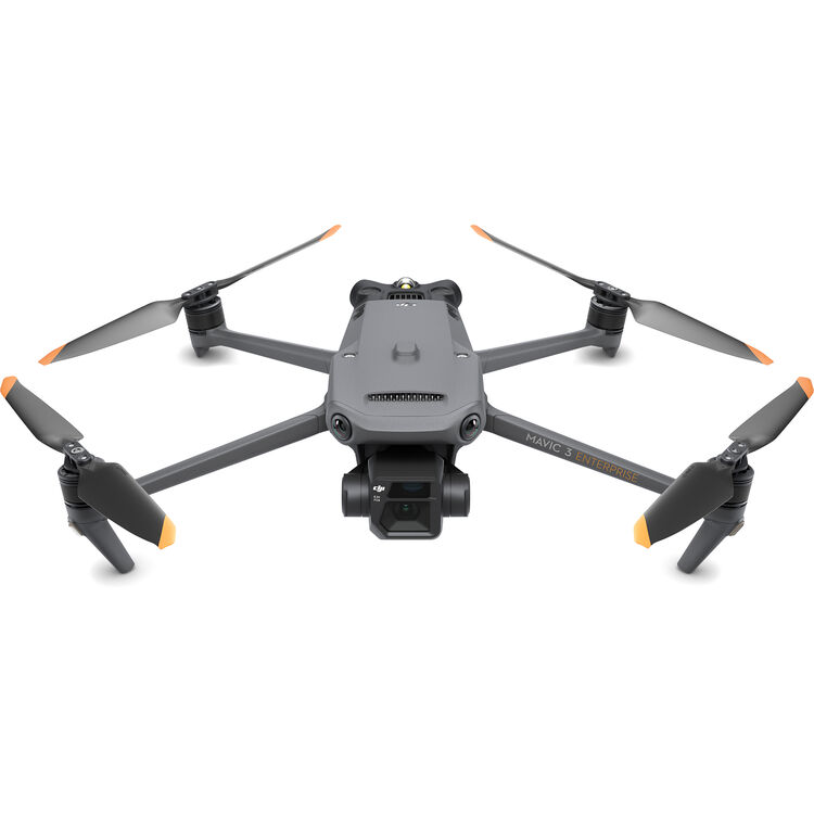
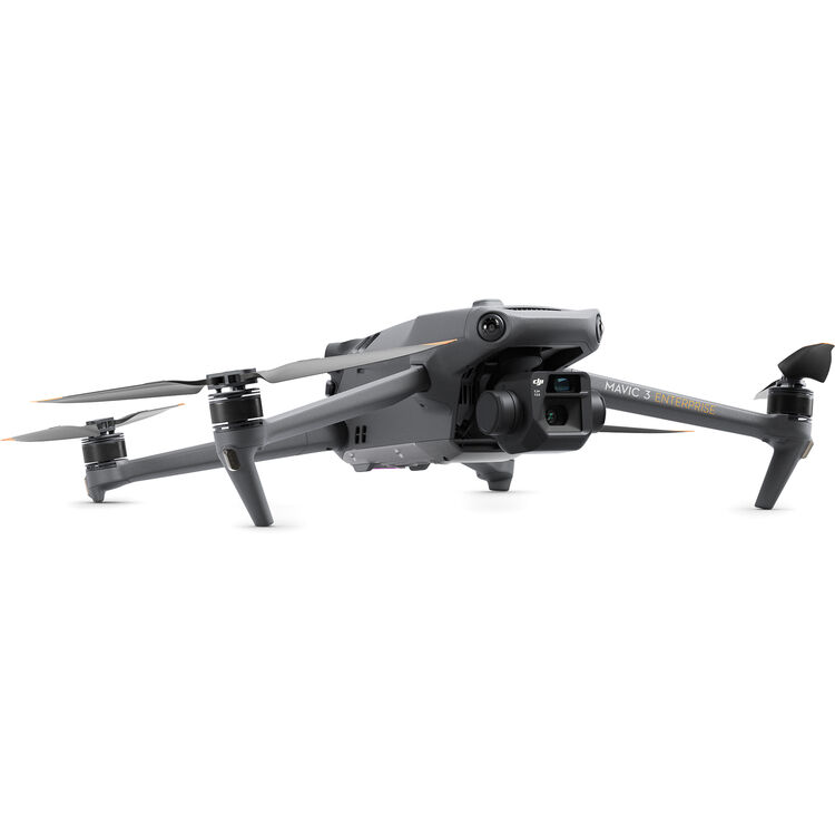
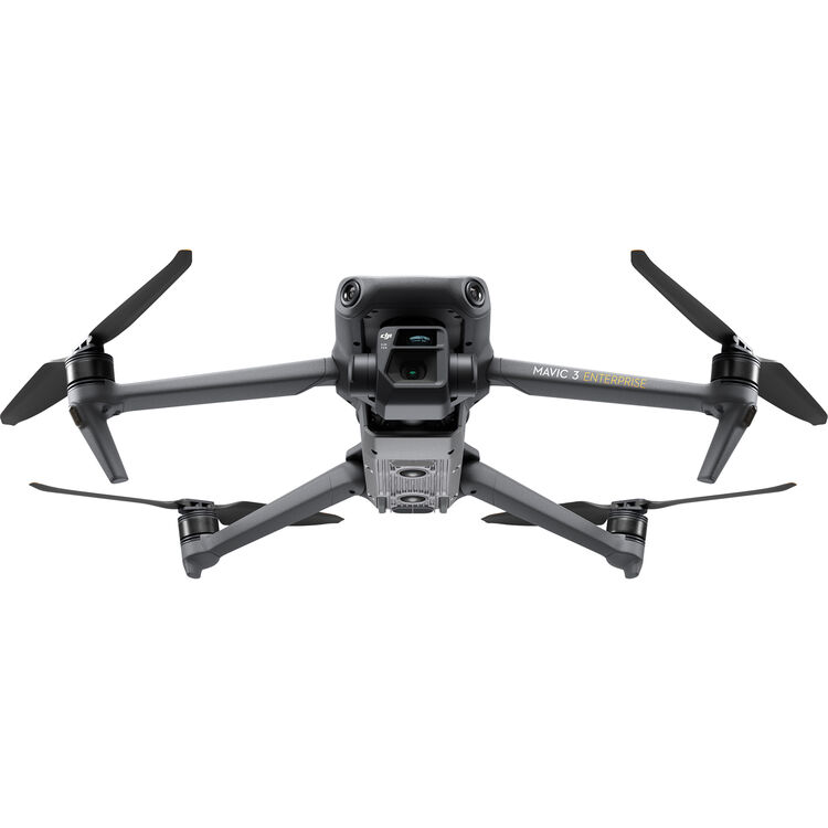
Equipped with a 4/3 CMOS wide-angle camera, 56x zoom camera, and optional 640×512 thermal imaging, suiting mapping, inspection, and rescue scenarios.
It’s small and portable while delivering powerful performance, fitting easily into on-the-go workflows.
Features a loud shouter, enhancing communication or alert capabilities in field tasks like search and rescue.
Boasts 45-minute battery life, O3 Video Transmission (Industry Edition), and RTK centimeter-level positioning for stable, high-precision operations.
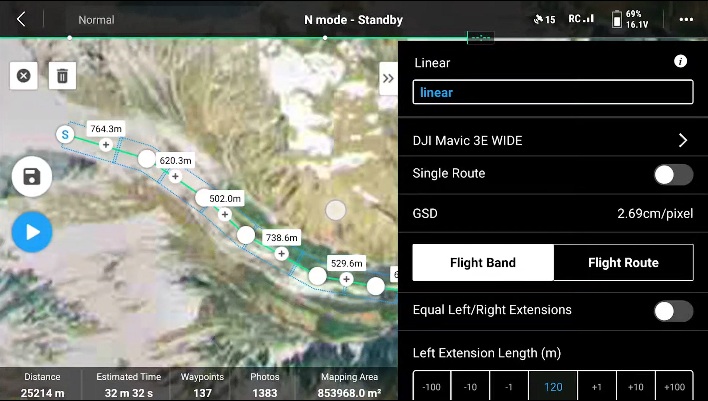
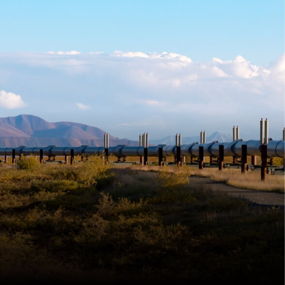
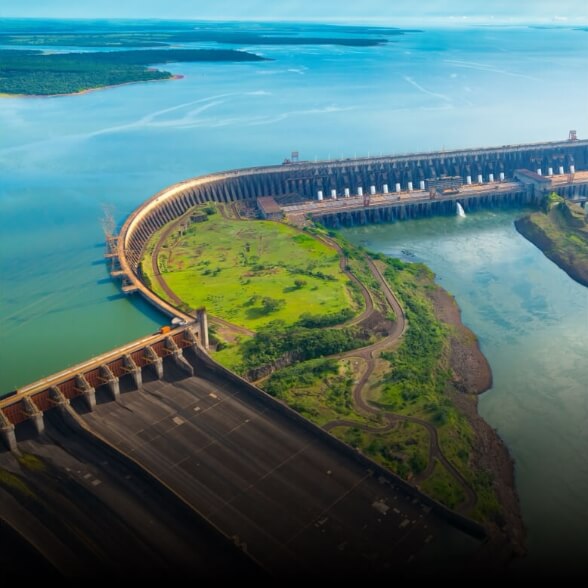
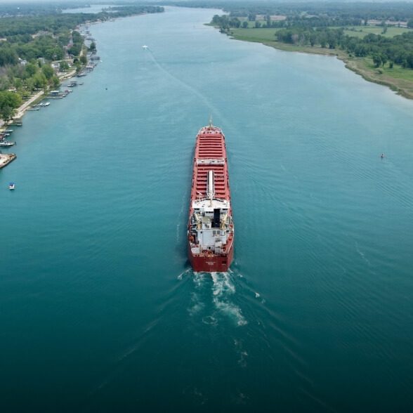
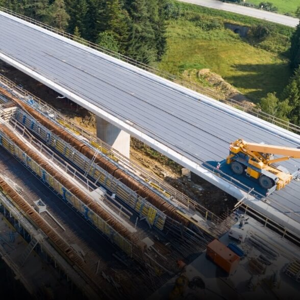
Specially designed for belt areas such as highways, rivers, and pipelines, it can cut large areas of belt survey areas and plan routes in sections, making the functions easier to use and less laborious operation.
Cruise time is up to 45 minutes, the effective operation time and operation radius have been greatly improved. A single sortie can complete surveying and mapping operations in an area of 2 square kilometers.
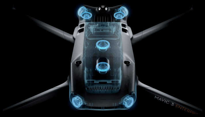
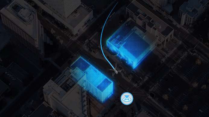
The fuselage is equipped with a fisheye lens, which can achieve omnidirectional sensing without blind spots. It also supports setting alarms and braking distances, flexibly responding to different operational needs.
Smart return mode automatically plans the optimal return route, saving power and time while ensuring maximum flight safety.
4 antennas O3 image transmission industry version, two transmit signals, four receive signals. Both the aircraft and the remote control support the DJI Cellular module, and the 4G enhanced video transmission and O3 video transmission industry version can operate simultaneously, making it easier to cope with various complex environments and fly safer.
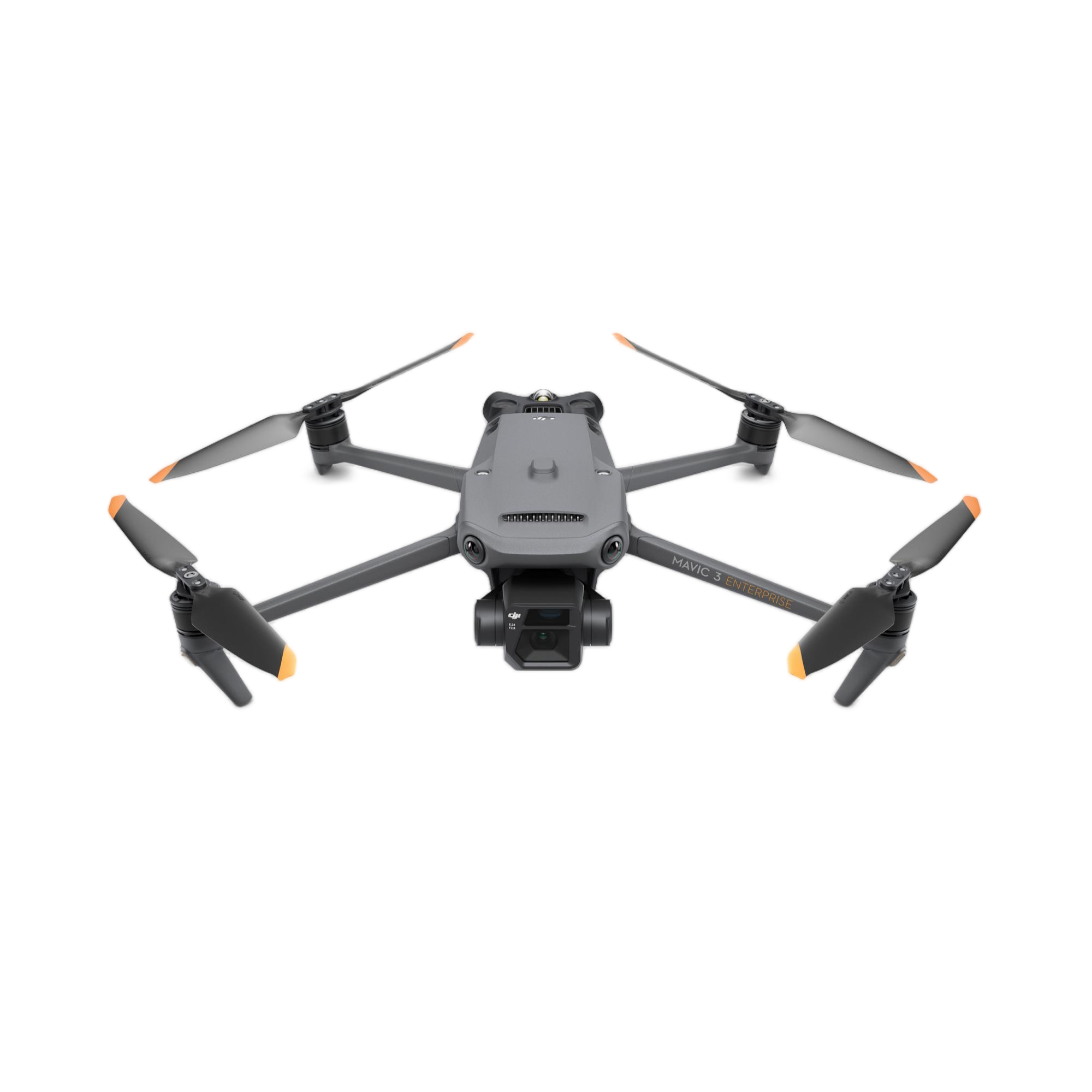
| Specification | Details |
|---|---|
| Maximum Flight Time | 45 Minutes |
| Remote ID | Yes |
| Camera System |
Wide: 20 MP, 4/3"-Type CMOS Sensor with 24mm-Equivalent, f/2.8 Lens (84° FoV) Telephoto: 12 MP, 1/2"-Type CMOS Sensor with 162mm-Equivalent, f/4.4 Lens (15° FoV) |
| Maximum Video Resolution | All Cameras: Up to UHD 4K at 30 fps |
| Still Image Support |
Wide: Up to 20 MP (JPEG / Raw) Telephoto: Up to 12 MP (JPEG) |
| Sensing System | Omnidirectional with Infrared Enhancement |
| Control Method | Included Transmitter |
| Weight |
2.0 lb / 915 g (With Propellers) 2.3 lb / 1050 g (With Maximum Payload) |
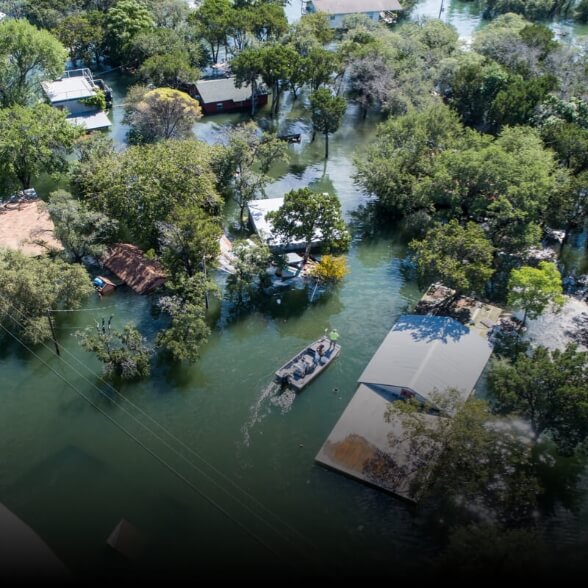
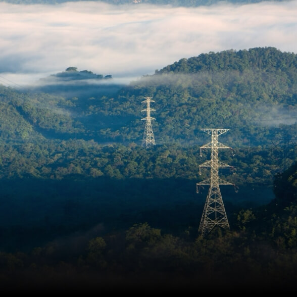
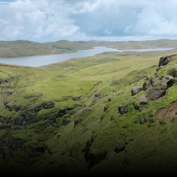
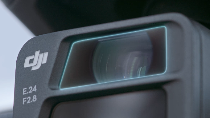
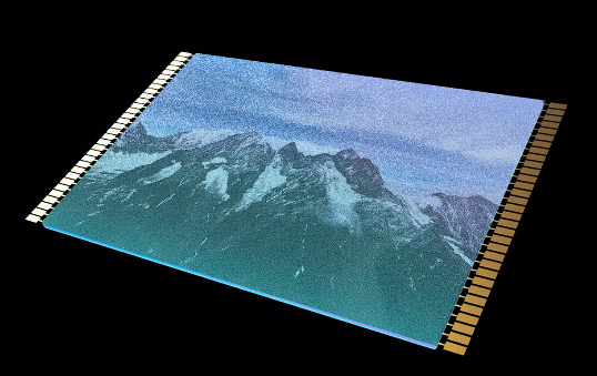
The drone is equipped with a 4/3 CMOS wide-angle camera and a 56x zoom camera. It also supports an optional 640×512 thermal imaging camera, rendering it ideal for mapping, inspection, and rescue scenarios.
The drone features a maximum flight/cruise time of up to 45 minutes. A single sortie can complete surveying and mapping operations across an area of up to 2 square kilometers.
Yes, the fuselage is equipped with a fisheye lens that supports omnidirectional sensing without blind spots. It also supports customizable alarm settings, braking distances, and a smart return-to-home mode that automatically plans the safest and most efficient path.
It features a 4-antenna layout (two transmit and four receive signals) and supports the DJI Cellular module. This allows the 4G enhanced video transmission and the O3 video transmission industry version to operate simultaneously, providing a stable signal in complex environments.
Absolutely. The flight software is specially designed for belt areas such as highways, rivers, and pipelines. It can easily cut large linear areas and plan routes in sections to simplify complex operations.
The drone weighs 2.0 lbs (915 g) with propellers included, and up to 2.3 lbs (1050 g) when carrying its maximum payload.









